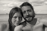
Initially the surface was made up of ‘good scree’. The softer stuff with enough depth to wedge a toe’s worth into for a foot hold. But the good stuff surely ran out, as did the shallow angled zig zags. And so the route veered sharply upward, a hard surface to shuffle upon covered with tiny rocks that slipped away underfoot. “Ace. Just what you need 300 odd metres up” I jibed at myself. “It’s like scaling a 500m ramp covered in marbles”, this was a little nerve wracking to say the least. But, slow and steady, a few whimperings from me, and eye-rollings from Cookie, and we soon made it up onto the relative safety of the half way terrace. Time for a refuel! ( And a change of pants. )
I scampered across this section a few times to collect the camera I left rolling, then back again to take some pictures. Nicky doesn’t like me messing about with the camera on tricky bits so I have to do it left on the tripod from afar. Anyhow it’s not too bad, easier going down it than up as with most scree.
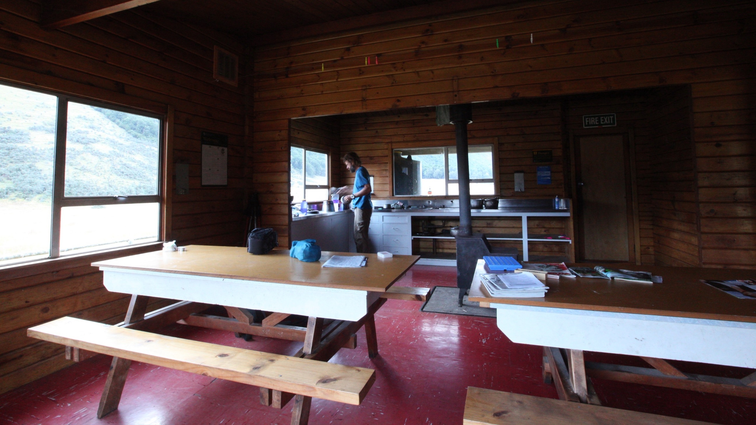
 When we saw our hut for the night described as a ‘lodge’ on the map we wondered what to expect. A chef? A bar? ;) Well it was actually a pretty nice spacious ranch-style hut. An old cattle farming building maybe ? Complete with a Farmville style log fence, garden lawn, wood panelling and separate bedroom spaces - a bit of a luxury!
 We shared the hut with a young couple who were surprisingly reluctant to help us polish off my bag of wine. But I was determined to see it away that evening, so me and Nicky persevered alone in front of the steadily shrinking bladder of country red :) I think the following morning was the first time I can remember waking up with a hangover on-trail.
 Cookie and I burst into Hurunui Hut, dumping our stuff in a mound we pegged it back out into the woods, grabbing arm-fulls of twigs, and dragging small fallen trees back. Some serious rain was coming and if we wanted dry boots for tomorrow, we’d better get some fire on the go!
 We arrived at the hut shortly after lunch and umm-ed & argh-ed about carrying onto the nearby hot spring in the afternoon to camp. But were a bit reluctant to camp in this sandfly infested valley and slightly worried that it might piss it down. The next hut, Hurunui No.3, was 4 hours away which wouldn’t leave us much time to enjoy the hot pools so we decided to stay here tonight. Good decision! Shortly after while out collecting firewood the rain clouds finally caught us up and promptly pissed it down all evening.
 Woop Woop! And well worth the roaming around it was. I’ve never been in a proper wild hot pool til now, and it’s so exciting to pretend like you’ve ‘discovered’ this little secret place.