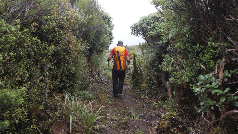
 We took a different route out that we thought might be quicker. Missing out the first hut and going straight down the ridge and following the Ohau river through the gorge at the bottom. I kept an eye out for hunters here. Lots of deer around apparently, and I was perfectly camouflaged in a brown waterproof ( apart from the red rucksack ;) ). Thinking of going New Rave on the hiking gear, and getting some neon sweatband action for the South Island ;)
On the way down I started to feel a bit disappointed that we’d not truly conquered the Tararua mountain range. It would have been great to say we’d done it. Only part of it is officially on our Te Araroa trail, but it’s beautiful up there, and there are tracks and huts all over the place, right over towards Wellington. Should we have stayed up there, braved the gales and gone for it anyway? Or was the weather turning bad? We heard something about the end of a cyclone due in NZ the next few days. Cookie checked the weather maps on the iPad as soon as we could get reception …
 Gables Track was quite a good descent route, I’d definitely be less inclined to come up this way as it was steep and muddy (after Gable End) but mud is quite a good shock absorber for the knees when you’re gunning it down as fast as you can! We made it off the misty high ridge and down to Mayo Knob in forest and sunshine for lunch. It felt like we were almost out, only few hundred more meters down to the river then it would be flat easy walking all the way to Levin.
Sadly the Ohau river track turned out to be not quite the flat easy walk that it looked on the map, it took much longer than we thought..


Hi, yeah this piece of writing is actually good
and I have learned lot of things from it concerning blogging.
thanks.